01 / 03GNSS RTK
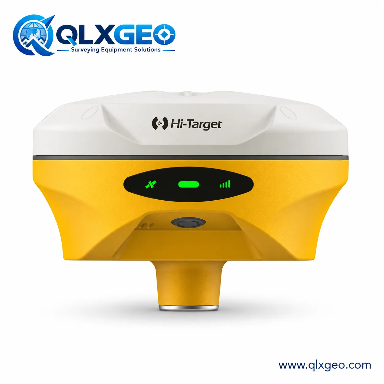

Find GNSS receivers, total stations and field equipment by brand and model. Ask our team to confirm the configuration, availability and support you need.
A clear path from equipment type to brand to exact model.
Three starting points from the brands our customers ask for most.
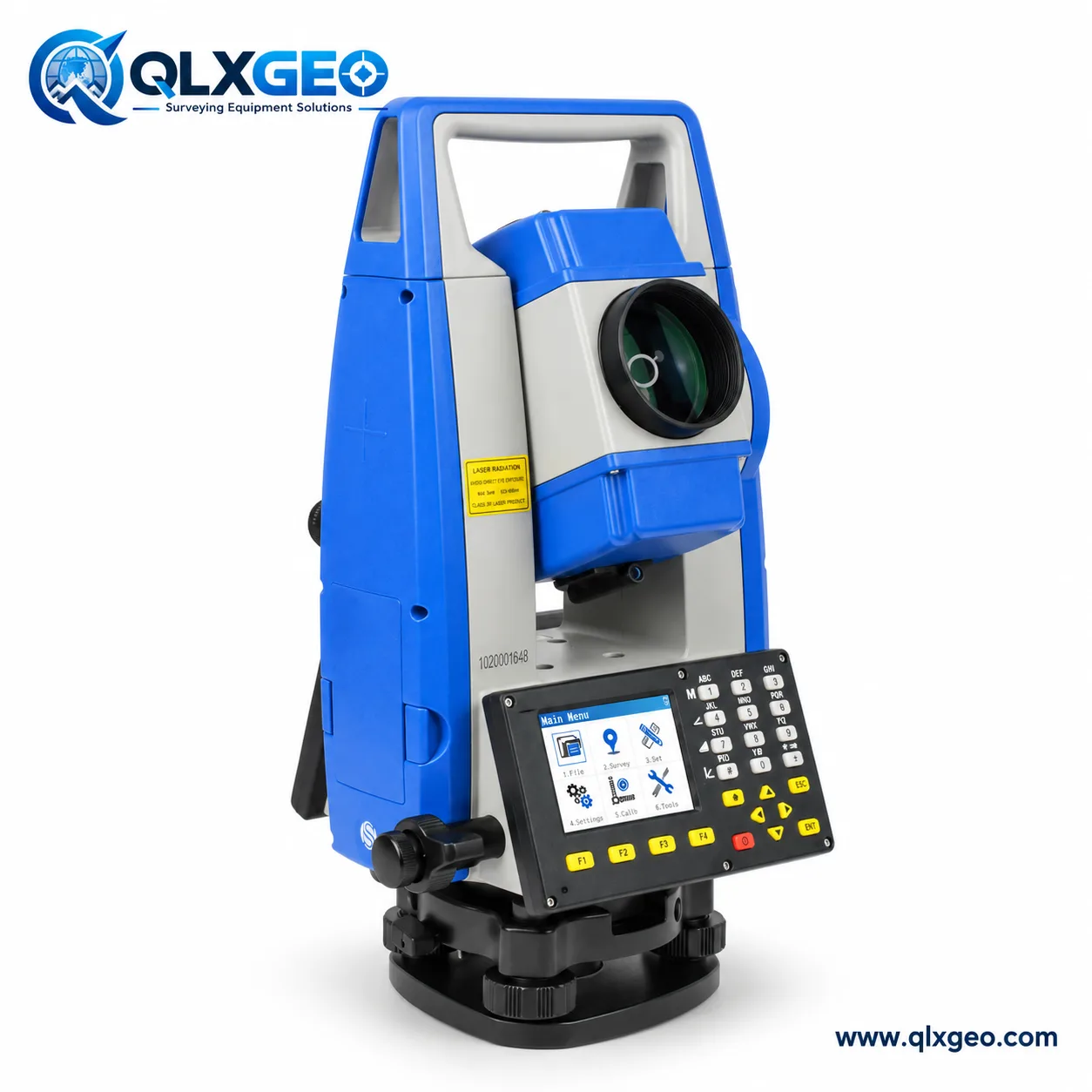
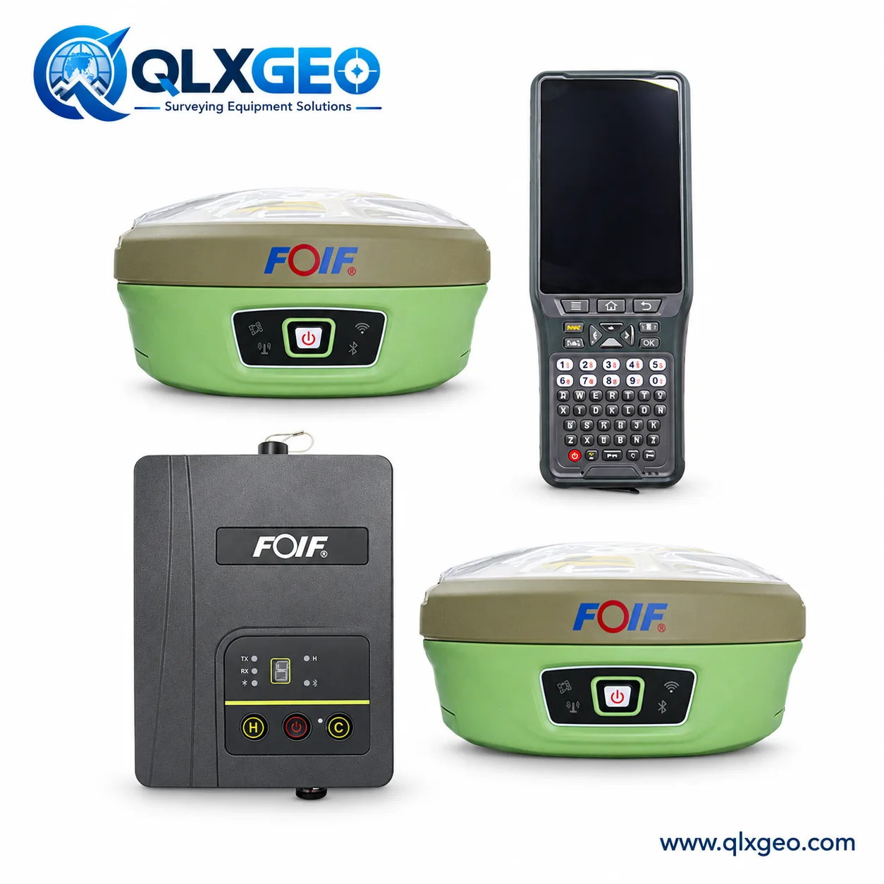
We hold surveying equipment in stock. Tell us the model and quantity so we can confirm current availability and configuration.
Share the model and fault with our team. We can assess the repair request and discuss the next step.
We can check and adjust eligible surveying instruments using our calibration bench and issue a calibration certificate. Ask us to confirm the scope and certificate type for your model.
View bench specificationsExact stock and repair scope are confirmed case by case.

Send a model, quantity and destination. Sophia will help coordinate a practical reply from our team.
Sophia oversees every inquiry. Choose your market for a direct sales conversation, or ask Jack about technical questions.




A model number is enough to begin. We can discuss equipment, configuration, inventory and repair needs together.
Send an inquiry